Hacking Life with Diabetes
Bill runs in the woods trail breakdown

We are now in April and the project is close at hand. I’m feeling pretty good about my training.
Until now I’ve only described the path from a bird’s eye view, but I know that some of you will want to follow along on April 27th to see how I’m doing, so here is a more detailed look at the route.
The whole route has been divided into five sections. Between sections my support team will be waiting with resupplies and good spirits to keep me going.
The first two sections are the most difficult, the path on these two legs has a lot of very rocky sections that require attention and the odd scramble. These legs also have the most elevation change which is good and bad. I have generally felt like the first 22 miles beat up the feet and really slow the average pace. Despite this they are also the most exciting because the terrain is diverse.
The next two legs are a nicely worn trail with gradual long-drawn-out ascents and descents mostly. The final section is basically flat except for a 1000-foot drop via switchbacks down to the river towards the end. I think the last leg will be the toughest because mentally I deplore the flat unchanging terrain of the canal towpath. The last threeish miles are on just that and I’m concerned it will feel an eternity.
If you want to follow along day of, we’ll be posting live updates on my Hacking with Bill Facebook Page.
And of course, if you are interested in donating to help me raise awareness of Type 1 Diabetes, you can do so here. Thank you!
Details of Each Section:
I have a small breakout of each section between aid stations below, so you can be more acquainted with the route.
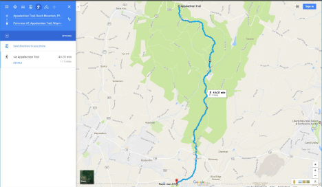
Section 1. Start to Pen Mar PA

Section 1 -Stats
Approximate Distance = 12.5 miles
Approximate Elevation Gain = 2,402 ft.
Approximate Elevation loss 2,044 ft.
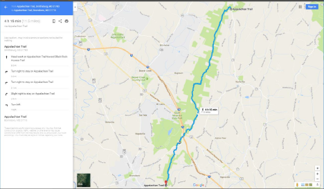
Section 2. Pen Mar to Ensign Cowell/Wolfsville Road

Section 2 -Stats
Approximate Distance = 9.9 miles
Approximate Elevation Gain = 1,591 ft.
Approximate Elevation loss = 1,775 ft.
Section 3. Ensign Cowell/Wolfsville Rd. to Fort Necessity

Section 3 -Stats
Approximate Distance = 11.6 miles
Approximate Elevation Gain = 1,460 ft.
Approximate Elevation loss = 1,427 ft.
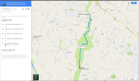
Section 4. Fort Necessity to Arnoldtowne Rd.

Section 4 -Stats
Approximate Distance = 8.9 miles
Approximate Elevation Gain = 1,253 ft.
Approximate Elevation loss = 1,775 ft.
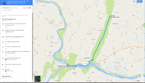
Section 5. Arnoldstowne Rd. to Harpers Ferry

Section 5 -Stats
Approximate Distance = 9.6 miles
Approximate Elevation Gain = 676 ft.
Approximate Elevation loss = 1,342 ft.
Totals
Approximate Distance = 52.5 miles
Approximate Elevation Gain = 7,382 ft.
Approximate Elevation Loss = 8,363 ft.
